Highway 37 Road Conditions
Road Conditions for the Atlin Highway
| Highway 37, in both directions. Bridge construction at Hanna North Bridge (7 km north of Meziadin). Until Fri Oct 31. Single lane alternating traffic. Width limit 4.03 m. EOL approvals up to 85 tonnes with no centre line crossing restriction. Expect minor delays. minor construction | last updated Tue Oct 7 at 8:10 AM PDT. | next update Mon Nov 3 at 8:00 AM PDT. |
| Highway 37, northbound. Maintenance between Water Lily Bay Rd and Jack Talstra Way (45 km north of Kitimat). Until Fri Oct 31. From 8:00 AM to 6:00 PM PDT on weekdays. Single lane alternating traffic. Barrier removal 0.2km south of Williams Creek Bridge. minor construction | last updated Fri Oct 3 at 12:57 PM PDT. |
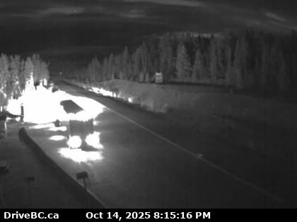
BC Yukon Border – Highway 37 at BC-Yukon Border
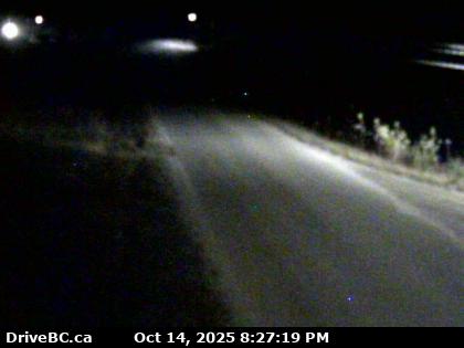
Good Hope Lake – Hwy 37 near Good Hope Lake, looking to the north.
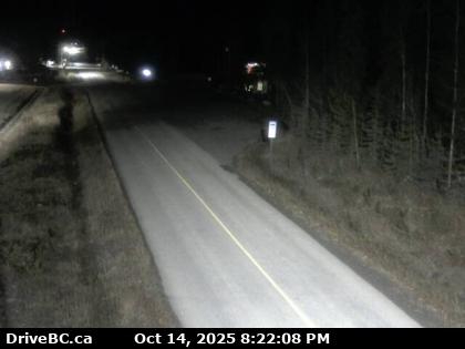
Dease Lake – Junction of Hwy 37 and Commercial Drive in Dease Lake, looking north on Hwy 37.
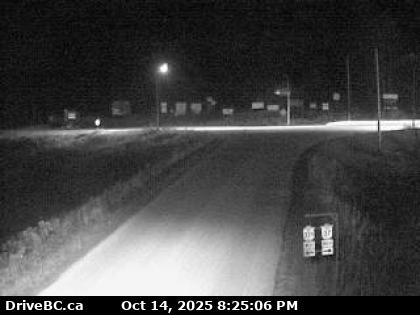
Meziadin Junction – Hwy 37 and Hwy 37A at Meziadin Junction, looking to the north.
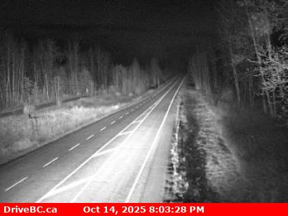
Kitwancool Access Rd – Hwy 37N at Kitwancool Access Rd about 2.5 km south of Gitanyow and 21 km north of the Hwy 16 Yellowhead junction, looking to the north.
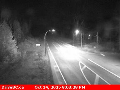
Kitwancool Access Rd – Hwy 37N at Kitwancool Access Rd about 2.5 km south of Gitanyow and 21 km north of Highway 16 Yellowhead junction, looking to the south.
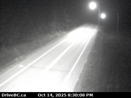
Onion Lake – Hwy 37S at Onion Lake Cross Country ski trails, looking north.
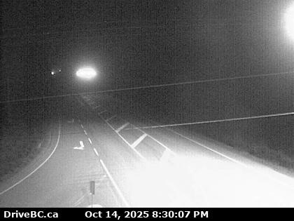
Kitimat – Hwy 37 at Oolichan Avenue, 5 km north of Kitimat, looking to the north
Road Conditions for BC Highway 37A
Highway 37 starts its 874 km (543 mi) journey in the south at Kitimat. 59 km (37 mi) north, Highway 37 reaches Terrace, where it merges onto the Yellowhead Highway. The Yellowhead coincides with Highway 37 east for 91 km (57 mi) to Kitwanga Junction, where the Yellowhead diverges east.
North of the Yellowhead’s Kitwanga junction, Highway 37 travels 76 km (47 mi) to Cranberry Junction, and then another 80 km (50 mi) north to Meziadin Junction, where Highway 37A begins and heads west via Bear River Pass to Stewart and Hyder, Alaska. Highway 37 travels north through the Skeena Mountains for 333 km (207 mi) to the Continental Divide communities of Eddontenajon, Iskut and Dease Lake, which straddles the Stikine and Dease River basins. Another 116 km (72 mi) north and Highway 37 reaches Jade City, where a junction to the former asbestos-mining community of Cassiar is located. North of Jade City, Highway 37 travels another 120 km (75 mi) to its crossing of the 60th parallel into the Yukon Territory, becoming Yukon Highway 37 and terminating at a junction with the Alaska Highway near Upper Liard BC. Highway 37 Road Conditions