BC Highway 3B Road Conditions Nancy Green Lake, Rossland, Trail, Montrose, Fruitvale.
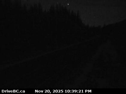
Strawberry Pass – Hwy 3B, about 15 km north of Rossland and 4 km south of summit, looking to the north.
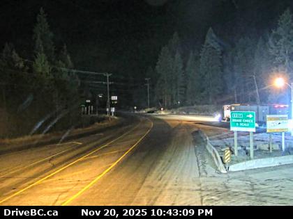
Rossland West – Highway 3B at Hwy 22 near the Rossland Weigh Scale, looking to the west on Highway 22.
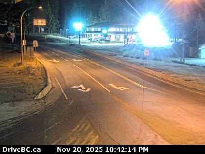
Rossland East – Hwy 3B at Hwy 22 near the Rossland Weigh Scale, looking to the east on Hwy 22.
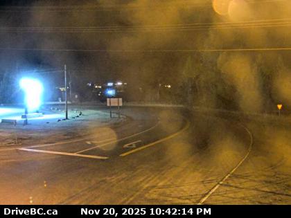
Rossland South – Hwy 3B at Hwy 22 near the Rossland Weigh Scale, looking to the south on Hwy 22.
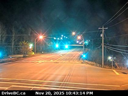
Trail – Highway 3B at Devito Drive, looking to the east.
Highway 3B’s western terminus is at the Crowsnest Highway near Nancy Greene Lake. The route travels 45 km (28 mi) southeast to the village of Rossland, where Highway 22 merges onto Highway 3B. The two highways share the route for the next 10 km (6 mi) east to Trail, where Highway 22 diverges north, with Highway 22A following Highway 3B east for 7 km (4 mi) to its departure just west of the village of Montrose for the Waneta border crossing. Highway 3B proceeds northeast for 23 km (14 mi), through the villages of Montrose and Fruitvale, to the location of Meadows, where it again meets up with the Crowsnest. BC Highway 3B Road Conditions.
Boundary Washington – Waneta Border Crossing to the USA