BC Highway 52 Road Conditions for Highway 52 North from Tumbler Ridge through Feller Heights to join Highway 97 west of Arras and Highway 52 East from Tumbler Ridge connecting with Hwy43/ Highway 2 near Tupper.
Hwy 52 East Road Report
Hwy 52 North Road Conditions
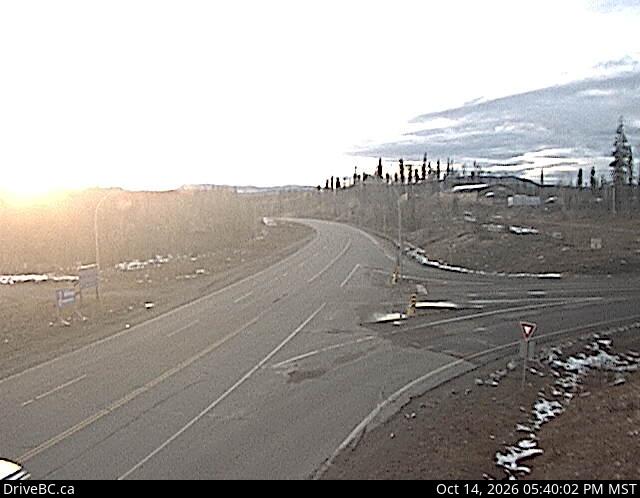
Tumbler Ridge – Highway 29 and Highway 52 intersection in Tumbler Ridge Looking to the West on Hwy 29. For other Highway 52 Cameras check Highway 2/52 intersection at Tupper.
Highway 52 is known locally as the Heritage Highway, is a long alternate loop route between Arras, on the John Hart Highway 97 just west of Dawson Creek, and Tupper, on the B.C.-Alberta border. The community of Tumbler Ridge is in the center of the loop so to speak 98 km (61 mi) south of Arras and 145 km (90 mi) south of Tupper. Highway 52 Road Conditions