Osoyoos to Salmo Weather Cams along Highway 3 Crowsnest Highway.
Highway 3 Osoyoos to Salmo Weather Cams
Anarchist – Highway 3, 9 km west of the Anarchist Summit, east of Osoyoos, looking to the east.
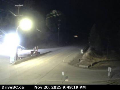
Rock Creek – Hwy 3 at Hwy 33 junction in Rock Creek, looking north-west.
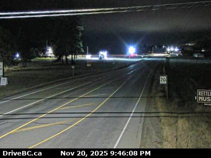
Midway West – Highway 3 in the town of Midway, at Florence St, looking west.
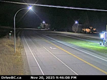
In the town of Midway – Hwy 3 at Florence Street looking to the east.
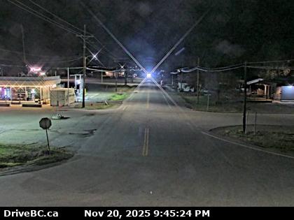
Midway South – On Highway 3 in Midway, at Florence St, looking south.
Eholt Summit – Highway 3 at the Wilgrass Rest Area near Eholt Summit, about 16km northeast of Greenwood, looking westbound.
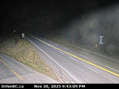
Christina Lake – Hwy 3 at East Lake Drive on the east side of Christina Lake, looking to the northwest.
Paulson Summit – Highway 3, about 3 km east of the Paulson Summit, looking to the west.
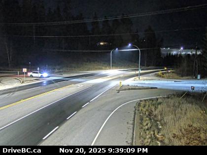
Castlegar – Hwy 3 at 14th Ave in the town of Castlegar, looking to the east.
Bombi Pass – Highway 3, at the Bombi Summit, approximately 22 km south-east of Castlegar, looking to the west.
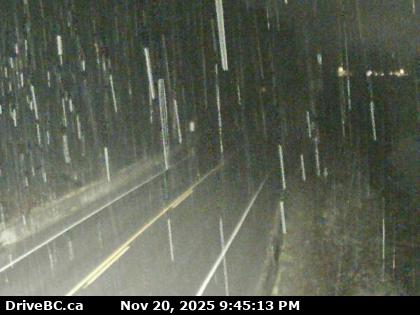
Meadows Junction – Hwy 3 at Highway 3B junction looking westbound.

Salmo – Highway 3 at Highway 6, looking west on Hwy 3.
Highway 3 Salmo to the Alberta Border Cams
Travelling east from Osoyoos, Highway 3 follows the Kettle River towards Midway. Hwy 3 continues easterly through the town of Greenwood and intersects with BC Highway 41 at Carson and Grand Forks.
21 km (13 mi) east of Grand Forks, the highway meets up with Highway 395 at Christina Lake.
Travelling east from Christina Lake, Highway 3 travels for 47 km (29 mi) through Bonanza Pass to its junction with Highway 3B at Nancy Greene Provincial Park. This is where you could cutoff to Rossland or to Trail.
East of Nancy Greene Lake, Highway 3 crosses into the Regional District of Central Kootenay and the City of Castlegar.
From Castlegar travelling east Highway 3 intersects Highway 22, crosses the Columbia River, and intersects Highway 3A leading towards Nelson which is located 28 km (17 mi) east of Castlegar.
Eastward from Nelson Highway 3 reaches its eastern junction with Highway 3B. Highway 6 converges with the Highway 3 at Salmo, 11 km (7 mi) east of the Highway 3B junction, and the two highways proceed south for 14 km (9 mi) to the Burnt Flat Junction, where Highway 6 diverges south.