Highway 95 Road Conditions including the Hwy 95 Weather Cams
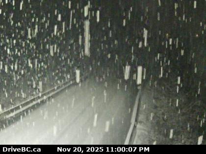
Highway 95. Winter driving conditions between BC/US Border and Sinclair Creek Loop Rd for 11.2 km (Kingsgate to Curzon Junction). Watch for slippery sections. minor weather condition | last updated Mon Feb 6 at 11:03 AM PST. |
Highway 95, in both directions. Bridge construction between Galena School Rd and Westside Rd (9 km north of Brisco). Until Thu Jun 1. From 7:00 AM to 6:00 PM MST on weekdays and Saturday. Detour bridge in place at Fraling Creek, reduced lane width to 3.6m. Pilot vehicle required for oversize loads wider than 3.8m. Expect delays. Speed reduction to 50 km/h, 30 km/h for traffic control. minor construction | last updated Thu Jan 26 at 8:09 PM MST. | next update Thu Jun 1 at 9:00 AM MST. |
Highway 95. Limited visibility with fog between Trainor Rd and the end of Highway 95 for 105.3 km (Radium Hot Springs to Golden). minor weather condition | last updated Mon Feb 6 at 9:44 PM MST. |

Quinn Creak N – Hwy 95, near Quinn Creek, about 31 km north of Brisco, looking north.

Quinn Creek S – Hwy 95, near Quinn Creek, about 31 km north of Brisco, looking to the South.

Brisco – Hwy 95 in Brisco, at Brisco Road, looking to the North.
Highway 95 is a north-south highway in the southeastern corner of British Columbia.
The highway connects with U.S. Route 95, from which the highway takes its number, at the Canada–U.S. border at Kingsgate, just north of Eastport, Idaho. The section between the Canada-U.S. border and the Crowsnest Highway is known as the Yahk–Kingsgate Highway while the section between the Crowsnest Highway and Golden is known as the Kootenay–Columbia Highway. Check Highway 95 Road Conditions.
Important – Highway 95A Road Condition Reports