BC Highway 33 Road Conditions Reports from Rock Creek to Kelowna BC. Highway 33 Weather Cams.
| Highway 33. Limited visibility with fog between Rupert Mainline and Highway 97 for 39.2 km (Kelowna). minor weather condition | last updated Sun Feb 1 at 6:28 AM PST. |
| Highway 33. Limited visibility with fog between Beaverdell Station Rd and McCulloch Rd for 41.6 km (Beaverdell to 30 km south of Kelowna). Watch for slippery sections. minor weather condition | last updated Sun Feb 1 at 6:39 AM PST. |

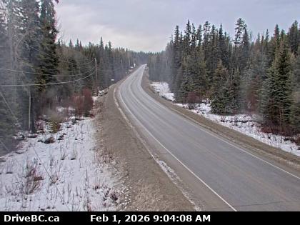
McCulloch – Highway 33, 41 km southeast of Kelowna, just south of Big White turnoff, looking to the north.

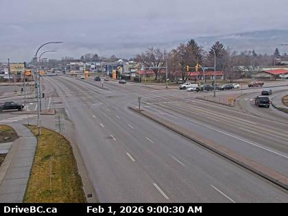
Kelowna – Hwy 97 at Hwy 33 in Kelowna, looking North on Hwy 97.

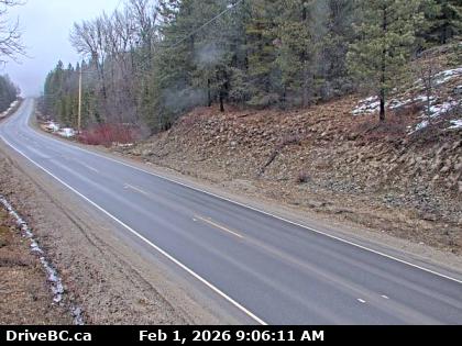
Highbridge – Highway 33, about 14 km north of Westbridge and 20 km south of Beaverdell, looking to the north.
Highway 33 starts in Rock Creek, about 40km east of Osoyoos, and is 129km long.
Check Highway 33 Weather Cams. From Rock Creek on the Crowsnest Hwy3, Highway 33 goes north. The first town it comes to is Beaverdell, then Carmi. A little bit north of Carmi, the highway passes by Big White Ski Resort (Big White is only accessible via Highway 33). Just north of Big White lies the city of Kelowna, and its ending at a junction with Highway 97.
Highway 33 Road Conditions