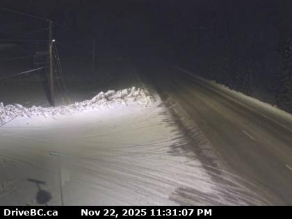
Highway 97 – Pine Pass Weather Cam

Pine Pass – Hwy 97, north of Mackenzie Junction at Powder King access road, looking north.
BC Highway 97 Road Condition report
Highway 97 journeys northeast 150 km (93 mi) over the crest of the Rocky Mountains via the Pine Pass, at which point the time zone changes from Pacific Time to Mountain Time. After descending from the Pine Pass, the highway generally follows the Pine River northeast to its intersection with Highway 29 at the town of Chetwynd. After a trek of another 97 km (60 mi) east, the Hart Highway terminates at Dawson Creek.
The Pine Pass, in the Hart Ranges of the Northern Rockies of British Columbia, connects the Peace Country of the province’s Northeastern Interior. Highway 97 and the Canadian National Railway (CNR) (formerly BC Rail network) traverse this mountain pass, which is the location of the Bijoux Falls Provincial Park, the Pine Le Moray Provincial Park, and the Powder King Mountain Resort at Azouzetta Lake.