• Skip to primary navigation
  • Skip to main content
  • Skip to primary sidebar

British Columbia Highway News

Integrating BC Transportation Travel News Services and Products

  • BC Road Report News
  • Closures & Incidents
  • Mountain Pass Webcams
  • Canada / USA – Border Cameras
  • About us

Cameras

Braden Rd to Ft St John Cameras

by

Highway 97 Braden Rd to Ft St John Cameras – BC Hwy 97 John Hart Highway north/east of Chetwynd to Ft St John Weather Cams

Highway 97 Road Condition Reports

Highway 97 Conditions

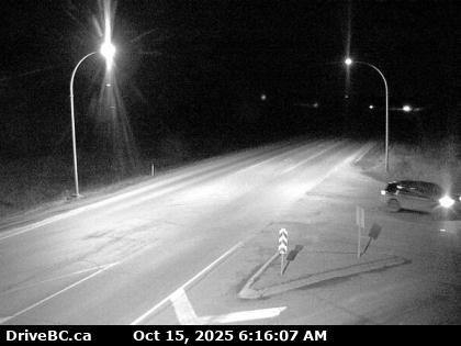
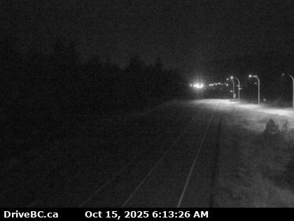
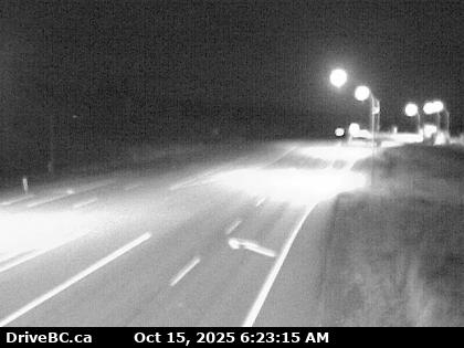
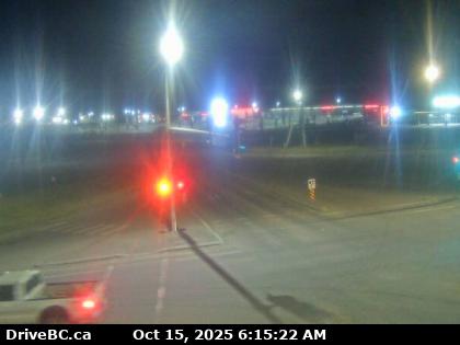
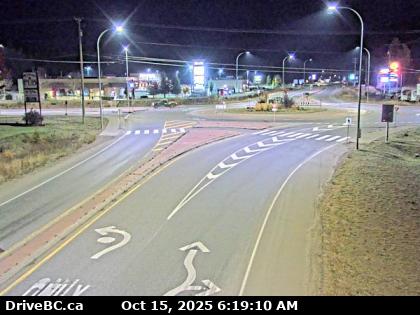
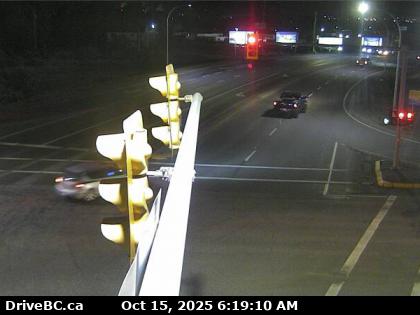
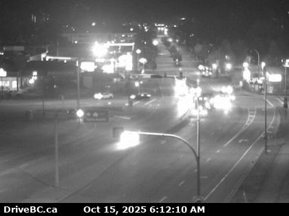
Braden Road East – Hwy 97 near Braden Rd, looking to the east.

Highway 97 Conditions

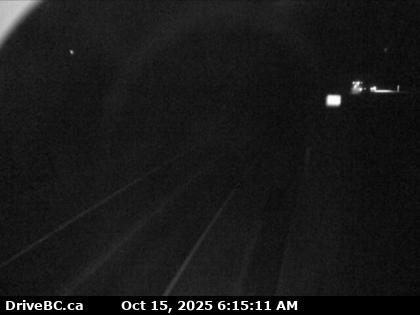
Braden Road West – Hwy 97 near Braden Rd, looking to the west.

Highway 97 Conditions

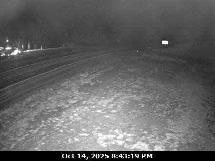
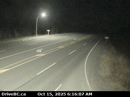
East Pine Hill – Hwy 97 on East Pine Hill, about 27 km east of Chetwynd, looking to east.

Highway 97 Conditions

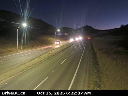
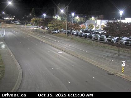
John Hart Highway – Hwy 97 (John Hart Hwy) at Mason-Semple Rd, looking to the east.
Highway 97 Conditions

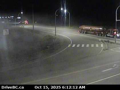
Dawson Creek South – Hwy 97 at Dangerous Goods Route, west of Dawson Creek, looking to the south.
Highway 97 Conditions

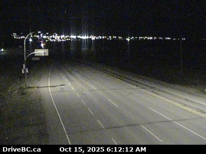
Dawson Creek East – Hwy 97 at Dangerous Goods Route, west of Dawson Creek, looking to the east.
Highway 97 Conditions

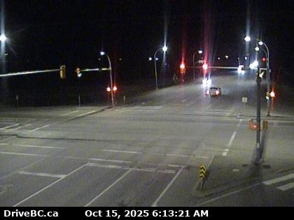
Dawson Creek West – Hwy 97 at Dangerous Goods Route, west of Dawson Creek, looking to the west.
Highway 97 Conditions

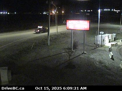
Dawson Creek North – Hwy 97 at Dangerous Goods Route, west of Dawson Creek, looking to the north.

Highway 97 Conditions

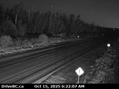
South Taylor Hill South – Hwy 97 at South Taylor Hill, 20 km south of Fort St John, looking to the south.
Highway 97 Conditions

South Taylor Hill North – Hwy 97 at South Taylor Hill, 20 km south of Fort St John, looking to the north. Braden Rd to Ft St John Cameras

Highway 97 Conditions

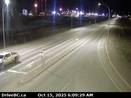
Big Bam Road – Hwy 97 at Big Bam Road in south Taylor, looking to the south.
Highway 97 Conditions

Taylor South – Hwy 97 at Pine Avenue in Taylor, looking to the south.

Highway 97 Conditions

Taylor East – Hwy 97 at Pine Avenue in Taylor, looking to the east.

Highway 97 Conditions

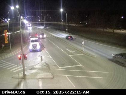
Taylor West – Hwy 97 at Pine Avenue in Taylor, looking to the west .
Highway 97 Conditions

Taylor North – Highway97 (Hwy 97) at Pine Avenue in Taylor, looking to the north.

Ham Radio Repeaters for the Northern Region

Fort St John Highway Cameras

Chetwynd Highway 97 Highway Cameras

Filed Under: Cameras

Mile 73 to Steamboat Hill Cameras

by

BC Highway 97 from Mile 73 to Steamboat Hill Cameras –

Mile 73 (North of Ft St John) to Steamboat Hill Cameras as reported by Drive BC and their maintenance partners. Highway 97 Weather Cams

Highway 97 Road Conditions Report

Hwy 97 Cams

Mile 73 South – Hwy 97 at Beaton Highway, 44 km north of Fort St. John, looking to the south.

Mile 73 North – Highway 97 at Beaton Highway, 44 km north of Fort St. John, looking to the north.
Sikanni Chief – Hwy 97, about 6 km south of the Sikanni River Bridge and about 175 km north of Fort St. John, looking to the north.

Trutch – Hwy 97 near Trutch and the Mile 202 Rest Area, looking to the north.
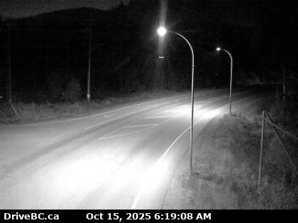
Fort Nelson – Highway 97 at Fort Nelson weigh scale, looking the north.

Liard Highway Junction – Highway 97 – Highway 77 junction, on Hwy 97 about 28 km north of Ft. Nelson, looking to the east.

Steamboat Springs – Hwy 97, about 80 km north-west of Ft Nelson, looking to the west. Highway 97 Weather Cams.

Ham Radio Repeater list for BC North

Filed Under: Cameras

Kelowna to McLeese Lake Cameras

by

Highway 97 Kelowna to McLeese Lake Cameras. Kelowna – McLeese Lake Weather Cams

Highway 97 Road Condition Reports

Kelowna – Highway 97 at Hwy 33 in Kelowna, looking to the North on Hwy 97.

Lake Country South – Hwy 97, in Lake Country, by Wood Lake, looking to the south.

Lake Country North – Hwy 97, in Lake Country, by Wood Lake, looking to the to the north.

Kalamalka Lookout – Highway 97 at Vista Road turnoff south of Vernon, looking to the north.

Falkland – Hwy 97 at Silvernails Road near Falkland BC , looking to the southeast. Kelowna – McLeese Lake Weather Cams

Monte Creek Brake Check – Highway 97 at the Monte Creek brake check, looking to the south.

Monte Creek Brake Check – Highway 97 at the Monte Creek brake check, looking to the north.

Big Bar – Hwy 97, 8 km north of Clinton just before Big Bar rest area, looking to the north.

Begbie Summit – Hwy 97, Begbie Summit, 100 Mile House area, looking north.

Enterprise South – Hwy 97, 37 km south of Williams Lake, looking to the south.

Enterprise North – Hwy 97, 37 km south of Williams Lake, looking to the north.

McLeese Lake South – Hwy 97 and Beaver Lake Rd junction north of McLeese Lake, looking to the south. Kelowna to McLeese Lake Cameras.

Ham Radio Repeaters Kelowna Area

Filed Under: Cameras

Osoyoos to Kelowna Weather Cams

by

Highway 97 Osoyoos to Kelowna Weather Cams – Osoyoos Kelowna Cameras

Highway 97 Road Condition Reports

Kaleden (North of Osoyoos) – Hwy 97 at Hwy 3A junction, just south of Kaleden Weigh Scale, looking to the south.

Kaleden (North of Osoyoos) – Hwy 97 at Hwy 3A junction, just south of Kaleden Weigh Scale, looking to the west.

Kaleden (North of Osoyoos) – Hwy 97 at Hwy 3A junction, just south of Kaleden Weigh Scale, looking to the north. Osoyoos Kelowna Cameras
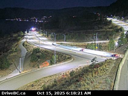
Callan – Hwy 97 at Callan Rd, about 6 km north of Summerland, about 15 km south of Peachland. Looking to the south.

Highway 97 at Hwy 97C – Hwy 97 at Hwy 97C junction, about 5 km south of Westbank, looking to the south.

Highway 97 at Hwy 97C – Hwy 97 at Hwy 97C junction, about 5 km south of Westbank, looking to the east.

Highway 97 at Hwy 97C – Hwy 97 at Hwy 97C junction, about 5 km south of Westbank, looking to the west.

Highway 97 at Hwy 97C – Hwy 97 at Hwy 97C junction, about 5 km south of Westbank, looking to the north.

East approach to WR Bennett Bridge at Abbott Street, looking west along Hwy 97.

East end of WR Bennett Bridge connecting Kelowna and West Kelowna, looking west.

Mid span of WR Bennett Bridge connecting Kelowna and West Kelowna, looking west.

West end of WR Bennett Bridge connecting Kelowna and West Kelowna, looking west. Highway 97 Osoyoos to Kelowna Weather Cams

Orchard City Amateur Radio Club Repeater Kelowna

Filed Under: Cameras

Courtenay Weather Cameras

by

BC Highway 19A Road Conditions from the Courtenay Weather Cameras today as provided by DriveBC.

Highway 19a Conditions

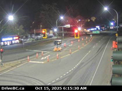
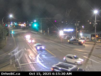
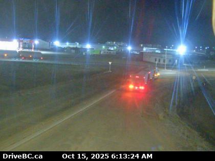
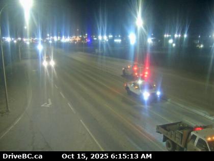
Highway 19A at Ryan Road North – Hwy 19A at Ryan Road in Courtenay, looking northbound.

Highway 19A at Ryan Road West – Hwy 19A at Ryan Road in Courtenay, looking westbound.

Highway 19A at Ryan Road East –Hwy 19A at Ryan Road in Courtenay, looking eastbound.

Highway 19A at Ryan Road South – Hwy 19A at Ryan Road in Courtenay, looking southbound.

Ryan Rd and Lerwick Rd – Looking to the North

Ryan Rd and Lerwick Rd – Looking to the West

Ryan Rd and Lerwick Rd – Looking to the East

Ryan Rd and Lerwick Rd – Looking to the South

Highway 19A at the 17th Street Bridge – Looking to the North

Highway 19A at the 17th Street Bridge – Looking to the West

Highway 19A at the 17th Street Bridge – Looking to the South Courtenay Weather Cameras

Road Condition Reports for Highway 19A

Highway 19 Road Conditions

Courtenay Ham Radio Repeaters

Filed Under: Cameras

Satellite Weather Image

BC Satellite Weather Image showing wind temperature and precipitation.

Fort Saint John Weather Cameras

by

Fort Saint John Weather Cameras showing Road and Weather Conditions for Highway 97 at Ft St John BC. Accurate Fort St John Cams

Road Conditions Report for all of Highway 97

Fort St John Road Conditions

Fort St John North View – Highway 97 at 100th Ave in Fort St. John, looking to the north. Fort St John Cams

Fort St John Northwest View – Highway 97 at 100th Ave in Fort St. John, looking to the northwest.

Fort St John Southeast View – Highway 97 at 100th Ave in Fort St. John, looking to the southeast.

Fort St John South View – Highway 97 at 100th Ave in Fort St. John, looking to the south.

Are the Fort Saint John Weather Cameras showing unfavourable driving conditions? Why not Fly via the Fort St John Airport

If you are a Ham Radio Operator here is a link to the Ft St John Repeaters

Filed Under: Cameras

Highway 5 Cameras

by

Highway 5 Cameras reporting weather and road conditions from Vavenby heading south to Kamloops

Vavenby to Kamloops Cams for Route 5

North of Vavenby (northbound) – Hwy 5, about 18 km northeast of Vavenby, looking northbound.

North of Vavenby (southbound) – Hwy 5, about 18 km northeast of Vavenby, looking southbound.

Clearwater North – Hwy 5 at Clearwater Valley Rd, looking to the north.

Clearwater South – Hwy 5 at Clearwater Valley Rd, looking to the south.

Little Fort – Hwy 5, in Little Fort at the Hwy 5 / Highway 24 junction, looking to the north.

Barriere – Hwy 5 at Agate Bay Rd, south of Barriere, looking to the south.

In Kamloops

Haiston Avenue North –Hwy 5 at Halston Ave in Kamloops, looking to the north.

Haiston Avenue West – Hwy 5 at Halston Ave in Kamloops, looking to the west.

Haiston Avenue East– Hwy 5 at Halston Ave in Kamloops, looking to the east.

Haiston Avenue South – Highway 5 Cameras at Halston Ave in Kamloops, looking to the south.

Filed Under: Cameras

Highway 5 Cameras

by

Highway 5 Cameras reporting weather and road conditions from Tete Jaune Cache to Avola.

Tete Jaune to Avola Cams for Route 5

Hwy 5 Tete Jaune Cache – Hwy 16 at Hwy 5 junction, looking east on Highway 16.

Lempriere – Hwy 5 Cam, approximately 40 km north of Blue River, looking to the south.

Blue River – Hwy 5 at Shell Rd in Blue River looking to the north-east

Messiter Summit – Highway 5, approximately 20 km south of Blue River and 19 km north of Avola, looking to the north.

Wire Cache North – Hwy 5, about 15 km south of Avola, looking to the north.
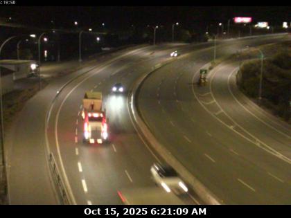
Wire Cache South – Highway 5 Cameras, about 15 km south of Avola, looking to the south.

Filed Under: Cameras

Bradner to McCallum Cameras

by

BC Highway 1 Bradner to McCallum Cameras for the Fraser Valley showing accurate Road and Weather conditions.

Highway 1 Cams from Bradner Road to McCallum Road in Abbotsford

BC Highway 1 Road Conditions Reports

Fraser Valley Weather Cams

Bradner Road – Hwy 1, west of Abbotsford near Bradner Road, looking to the east.

Bradner Road West – Highway 1, west of Abbotsford near Bradner Road, looking west.

Bradner Road East – Hwy 1, eastbound west of Abbotsford near Bradner Road, looking east.

Mount Lehman Road North – Hwy 1 at Mt. Lehman Rd, looking north.

Mount Lehman Road West – Hwy 1 at Mt. Lehman Rd, looking to the west.

Mount Lehman Road East – Hwy 1 at Mt. Lehman Rd, looking to the east.

Mount Lehman Road South – Hwy 1 at Mt. Lehman Rd, looking to the south.

Clearbook Road North – Hwy 1 at Clearbrook Rd, looking north.
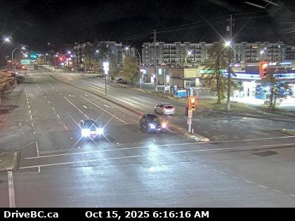
Clearbrook Road West – Hwy 1 at Clearbrook Rd, looking west.

Clearbrook Road East – Hwy 1 at Clearbrook Rd, looking east.

Clearbrook Road South – Hwy 1 at Clearbrook Rd, looking to the south.

McCallum Road East – Hwy 1 at McCallum Rd overpass, looking to the east. Bradner to McCallum Cameras

Hwy 1 McCallum Road to Chilliwack Lake Rd Webcams

Highway 11 to the Canada USA Border

Filed Under: Cameras

  • Go to page 1
  • Go to page 2
  • Go to page 3
  • Interim pages omitted …
  • Go to page 8
  • Go to Next Page »

Primary Sidebar

News

How to go to the USA.

The rules imposed by the United States Dec 2 2021 requiring a test 24hours before flying to the USA do not apply at the land border however You are still required to be fully vaccinated to drive to USA.

Driving to Canada

Canadian Covid -19 Emergency border measures have ended.

Best Personal Breathalyzer

Personal Breathalyzer
Dont risk a DUI. Make sure you don’t drive while impaired Get a personal breathalyzer check your alcohol levels and drive responsibly.


This 'travel news' services website is privately owned. It is not affiliated or sanctioned by the Government of BC, nor is it part of the provincial governments - DriveBC program or websites, operated by the BC Ministry of Transportation and Infrastructure. The data and electronic links provided in this web site are for informational purposes only and bchighway.com disclaims all responsibility for the accuracy of site content or linked information. This information obtained from bchighway.com should not be used as a basis for making financial or other commitments. Privacy Agreement © 1996–2023 bchighway.com - All Rights Reserved.