• Skip to primary navigation
  • Skip to main content
  • Skip to primary sidebar

British Columbia Highway News

Integrating BC Transportation Travel News Services and Products

  • BC Road Report News
  • Closures & Incidents
  • Mountain Pass Webcams
  • Canada / USA – Border Cameras
  • About us

Cameras

Kamloops to Sicamous Weather Cams

by

Hwy 1 Kamloops to Sicamous Weather Cams indicating Weather and Road Surface Conditions. Monte Creek, Sorrento, Weather Cams.

Highway 1 Kamloops to Sicamous Weather Cameras

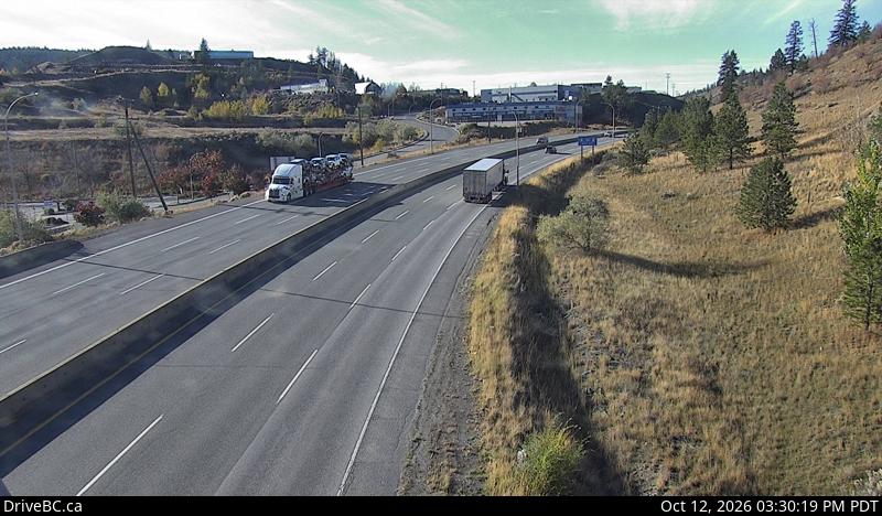
Miners Bluff West – Hwy 1, between Monte Creek and Pritchard, looking to the west
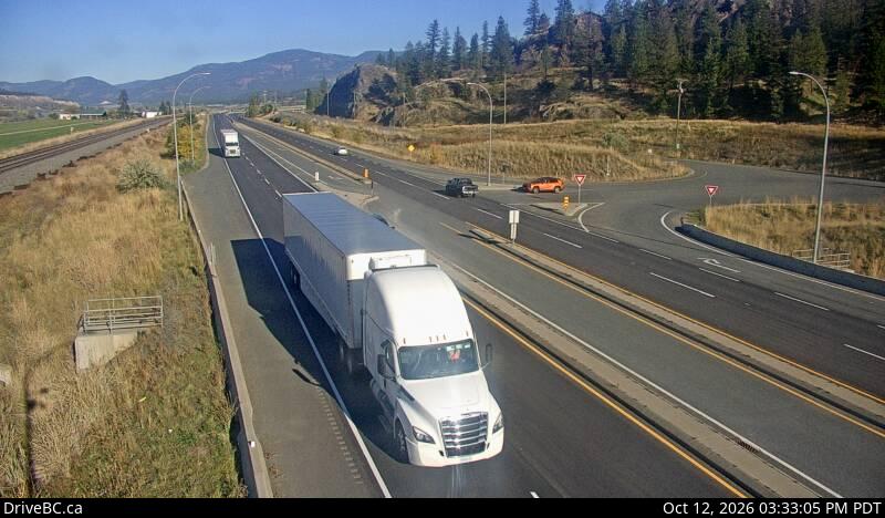
Miners Bluff East – Hwy 1, between Monte Creek and Pritchard, looking east

Squilax West – Hwy 1, east Squilax Bridge, looking to the west.

Squilax East – Hwy 1, east Squilax Bridge, looking east.

Sorrento Blind Bay – Hwy 1, at Highland Drive east of Sorrento at the Blind Bay turn off, looking southeast.

Annis Pit West – Highway 1 at Annis Pit, 8 km southwest of Sicamous, looking to the west.

Annis Pit East – Highway 1 at Annis Pit, 8 km southwest of Sicamous, looking to the east.

Sicamous West – Hwy 1, east of Sicamous at Cambie/Solsqua Roads, looking to the west.

Sicamous East – Hwy 1, east of Sicamous at Cambie/Solsqua Roads, looking to the east. Kamloops to Sicamous Weather Cams.

BC Highway 5 Road Condition Reports

Road Conditions for all of Highway 1

Kamloops Ham Radio Repeater List

Filed Under: Cameras

Hope to Kamloops Weather Cams

by

Hope to Kamloops Weather Cams indicating Weather and Road Surface Conditions. Fraser Canyon Weather Cams.

BC Highway 1 Hope to Kamloops Weather Cameras

Yale North – Highway 1, at Victoria Street in Yale, looking to the north.

Yale South – Hwy 1, at Victoria Street in Yale, looking to the south

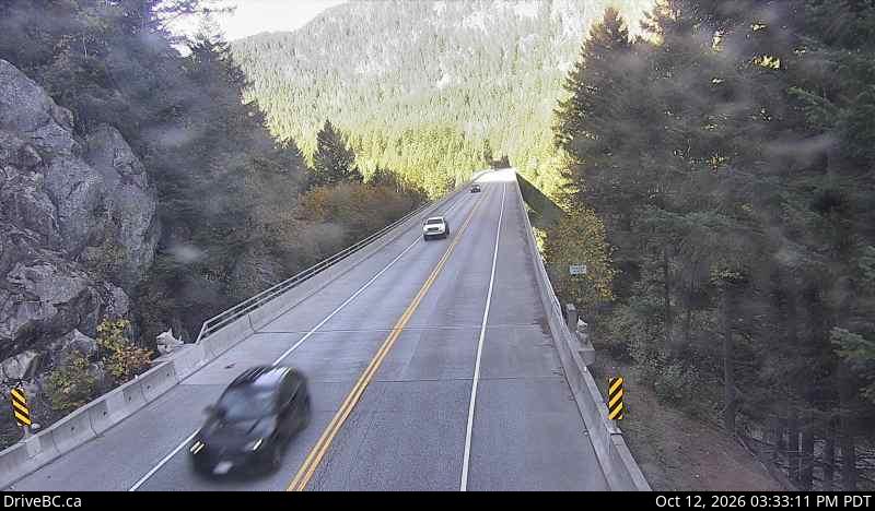
Alexandra Bridge North – Hwy 1 at Alexandra Bridge, looking to the north.

Alexandra Bridge South – Highway 1 at Alexandra Bridge, looking to the south.

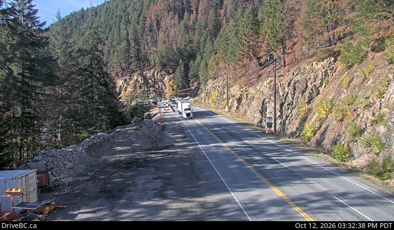
Hells Gate North – Hwy 1 at Bradley Hill, about 3.5 km south of Hells Gate, looking to the north.

Hells Gate South – Hwy 1 at Bradley Hill, about 3.5 km south of Hells Gate, looking to the south.

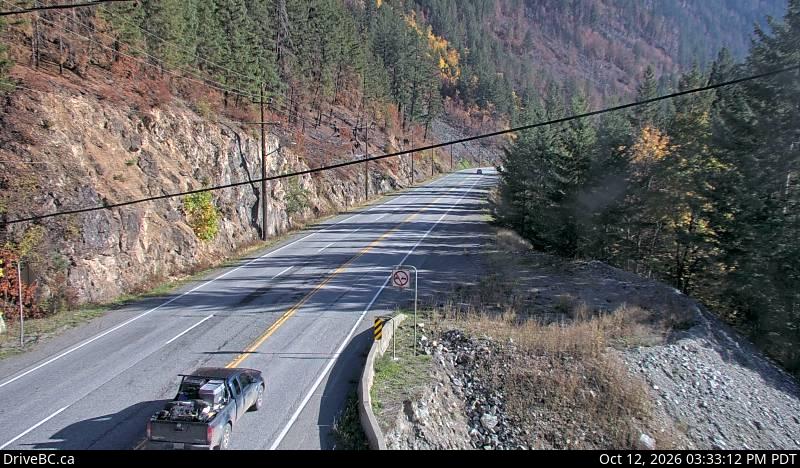
Boston Bar North – Hwy 1 at Kahmoose Rd, 12 km north of Boston Bar, looking to the north.

Boston Bar South – Hwy 1 at Kahmoose Rd, 12 km north of Boston Bar, looking to the south

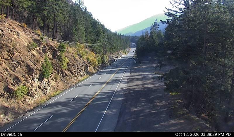
Jackass Mountain Summit – Hwy 1 at Jackass Mountain summit, between Boston Bar and Lytton, looking to the north.

Spences Bridge – Hwy 1, on the west side of the Thompson River at the north end of Spences Bridge, looking to the north

Cache Creek – Highway 1 at Collins Rd, looking east on Hwy 1/97.

Savona – Hwy 1 at Holloway Drive, near Savona, looking to the west.

Dufferin West – Hwy 1 in Kamloops, east of Copperhead Drive, looking to the west.

Dufferin East – Hwy 1 in Kamloops, east of Copperhead Drive, looking to the to the east.

Kamloops – Highway 1 at Peterson Creek bridge in Kamloops, looking to the west. Fraser Canyon Weather Cams.

BC Highway 5 Road Condition Reports

Hwy 1 Kamloops to Sicamous Weather Cams

Highway 1 Sicamous to Revelstoke Weather Cams

Hwy 1 Revelstoke to Golden BC Weather Cameras

Highway 1 Golden though to Alberta Weather Cameras

If driving the in these road conditions are beyond your confidence or ability – why not consider Flying? Check the Kamloops Airport for the arrival and departure schedules.

Back to the Highway 1 Road Information Reports Hope to Kamloops Weather Cams through to Alberta.

Filed Under: Cameras

Tete Jaune Cache Cameras

by

Tete Jaune Cache Cameras

BC Highway 16 Alberta Border through Red Pass, Tete Jaune Cache, Slim Creek to Prince George Weather Cams

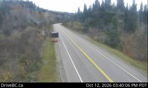
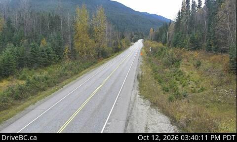
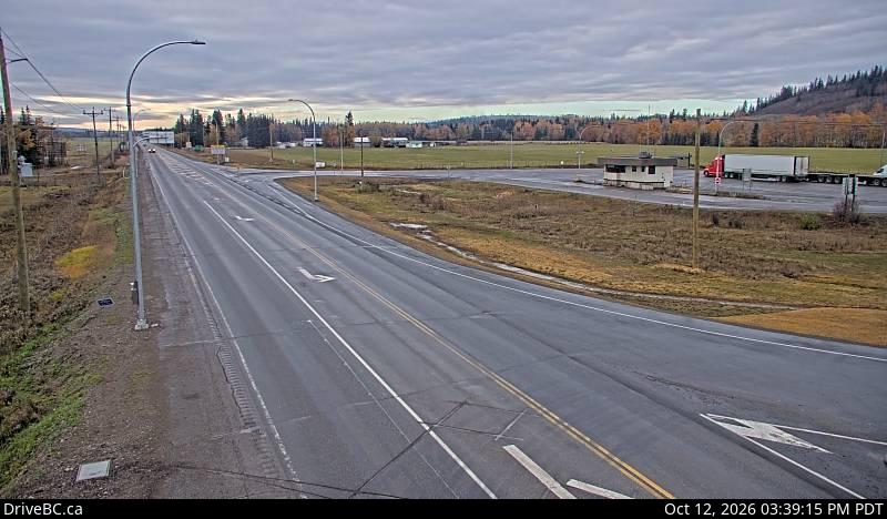
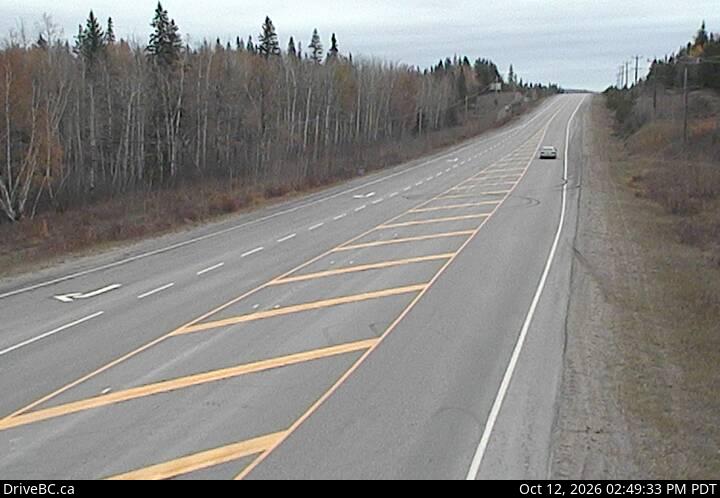
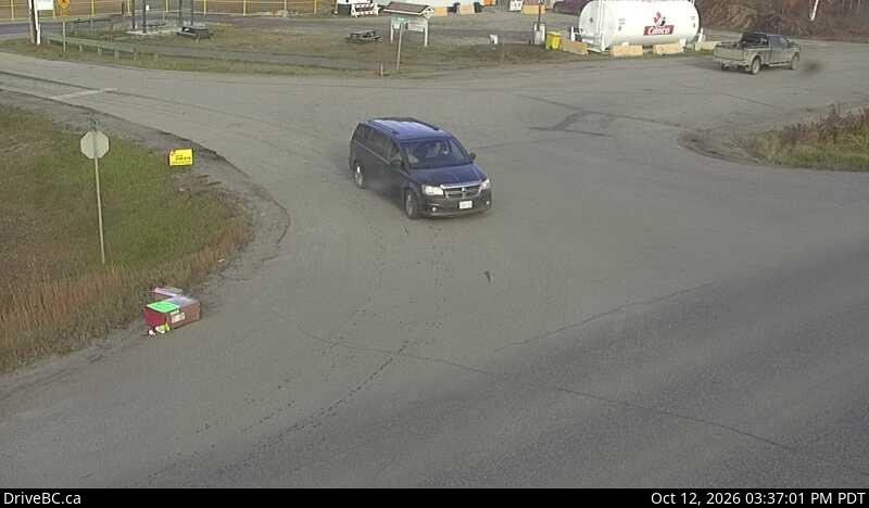
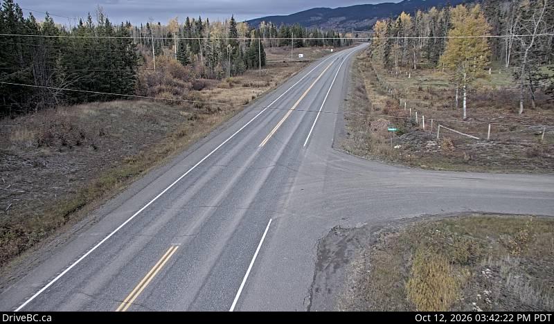
BC Alberta Border – Hwy 16, about 0.5 km west of the BC-Alberta border, looking to the west.

Red Pass – Hwy 16, 27 km east of Tete-Jaune Junction at Red Pass, 40 km west of BC/Alberta border.

Tete Jaune Cache – Highway 16 at Hwy 5 junction, looking to the east.

Dunster Station Road – Hwy 16 at Dunster Station Rd, about 30 km east of McBride, looking to the east.

West Twin Creek East – Hwy 16, at West Twin Creek, looking to the east.

West Twin Creek West – Highway 16, at West Twin Creek, looking to the west.

Crescent Spur – Hwy 16, about 50 km west of McBride at Loos Rd, looking west.

Slim Creek East – Hwy 16, about 400m east of the Slim Creek Rest Area, looking to the east.

Slim Creek West – Hwy 16, about 400m east of the Slim Creek Rest Area, looking to the west.

Bowron River – Highway 16, about 54 km east of Prince George near Purden Lake, looking to the west.

Tete Jaune Cache Cameras page for Alberta to Prince George Weather Cams

Highway 16 Road Condition Reports

Alberta Road Conditions

Filed Under: Cameras

Prince George Weather Cams

by

BC Highway 16 Prince George Weather Cams through to Vanderhoof showing Prince George Road Conditions on Hwy 16 and Highway 97

In Prince George at Vance Road – Hwy 16 at Vance Rd in Prince George, looking westbound.

Prince George Road Conditions

In Prince George at Davis Road – Hwy 16 at Davis Rd in Prince George, looking eastbound.

Hwy 97 at Hwy 16 – Hwy 97 at Hwy 16 in Prince George, looking Northbound on Hwy 97.

Hwy 97 at Hwy 16 – Hwy 97 at Hwy 16 in Prince George, looking Westbound on Hwy 97.

Hwy 97 at Hwy 16 – Hwy 97 at Hwy 16 in Prince George, looking Eastbound on Hwy 97.

Hwy 97 at Hwy 16 – Hwy 97 at Hwy 16 in Prince George, looking Southbound on Hwy 97. Showing Prince George Road Conditions.

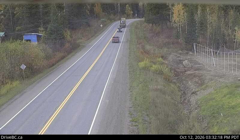
Tamarack – Highway 16 at Dahl Lake Rd, about 33 km west of Prince George, looking west.

Bednesti East – Highway 16 at Bednesti between Prince George and Vanderhoof, looking to the east.

Bednesti West – Highway 16 at Bednesti between Prince George Weather Cams and Vanderhoof, looking to the west.

Prince George Airport

Filed Under: Cameras

New Hazelton Weather Cams

by

Trout Creek through to New Hazelton Weather Cams – Hwy 16 Cameras Between Smithers and Kitwanga.

Trout Creek – Hwy 16 at the Trout Creek bridge, looking to the south-east.

Witset South – Hwy 16, in Witset (Moricetown) at Beaver Road, looking south.

Witset West – Hwy 16, in Witset (Moricetown) at Beaver Road, looking west.

Witset North – Hwy 16, in Witset (Moricetown) at Beaver Road, looking north.

New Hazelton – Hwy 16 at McLeod St in New Hazelton, looking to the east.

Witset (formerly Moricetown) is a Wet’suwet’en village in Central British Columbia, Canada on the west side of the Bulkley River on Coryatsaqua (Moricetown) Indian Reserve No. 2, and on Moricetown Indian Reserve No.1. The current village was built during the early 1900s. Evidence of inhabitants date back to around 5,500 years ago.

New Hazelton is east of Kitwanga, British Columbia (48 km), Terrace, British Columbia (139km), Kitimat, British Columbia (197km), and Prince Rupert, British Columbia (283 km).

New Hazelton is west of Witset (33 km), Smithers, British Columbia (64), Telkwa, British Columbia (81), Houston, British Columbia (130), and Prince George, British Columbia (434 km). New Hazelton Weather Cams

Filed Under: Cameras

Highway 27 Road Conditions

by

BC Highway 27 Road Conditions for the Stuart Lake Highway including Road Condition and Weather Cams.

Highway 27, in both directions. Construction work between Quail Rd and Sowchea Rd for 48.6 km (52 to 3 km south of Fort St James). Until Mon Sep 7. Single lane alternating traffic. Watch for traffic control. Expect delays.
minor construction | last updated Wed Jul 29 at 12:23 PM PDT.
Highway 27, in both directions. Utility work planned between Greenview Dr and Middle Rd for 0.4 km (Fort St James to 1 km south of Fort St James). Starting Mon Sep 14 at 8:00 AM PDT until Fri Sep 25 at 4:00 PM PDT. Lane Closure. Single lane alternating traffic will be in effect. Watch for traffic control personnel.
minor construction | last updated Thu Aug 27 at 2:31 PM PDT.

Highway 27 Road Condition and Weather Cameras

Fort St James North – Hwy 27 at Hill St/Greenview in Fort St. James, looking to the north.

Fort St James South – Hwy 27 at Hill St/Greenview in Fort St. James, looking to the north.

Spencer Pit North – Highway 27, about 12km south of Fort St. James at Spencer Pit, looking to the north.

Spencer Pit South – Highway 27, about 12km south of Fort St. James at Spencer Pit, looking to the south.

Stuart Lake Highway N – Hwy 27, about 32 km south of Fort St. James, looking looking to the north.

Stuart Lake Highway S – Hwy 27, about 32 km south of Fort St. James, looking looking to the south.

Highway 27, the Stuart Lake Highway, is a 53 km (33 mi) long spur of the Yellowhead Highway in the Regional District of Bulkley-Nechako. First opened in 1967, it provides a connection from Vanderhoof, on Highway 16, north to Fort St. James, at the southern end of Stuart Lake. BC Highway 27 Road Conditions

Stewart Lake Marine Park

Filed Under: Cameras, Road Reports

Vanderhoof Weather Cams

by

Vanderhoof Weather Cams for Highway 16 Yellowhead Highway through Fort Fraser to Burns Lake

Sob Lake East – Hwy 16 at Sob Lake Road in Vanderhoof, looking to the east

Sob Lake West – Hwy 16 at Sob Lake Road in Vanderhoof, looking to the west

Highway 16 at Highway 27 East – Hwy 16 at Hwy 27 Junction, looking to the east.

Highway 16 at Highway 27 West – Hwy 16 at Highway 27 Junction, looking to the west.

Highway 16 at Highway 27 North – Hwy 16 at Hwy 27 Junction, looking to the north.

Fort Fraser Hills – Hwy 16, about 5 km east of Fort Fraser, looking to the east.

Nautley Road East – Hwy 16, at Nautley Road, looking to the east.

Nautley Road West – Hwy 16, at Nautley Road, looking to the west.

Nautley Road North – Highway 16, at Nautley Road, looking to the north.

Stella Road East – Hwy 16 at Stella Road in Fraser Lake, looking to the east.

Stella Road West – Hwy 16 at Stella Road in Fraser Lake, looking to the west.

Stella Road North – Highway 16 at Stella Road in Fraser Lake, looking to the north.

Savory Rest Area East – Hwy 16, 48 km east of Burns Lake, looking to the east.

Savory Rest Area West – Hwy 16, 48 km east of Burns Lake, looking to the west.

Priestly Hill – Highway 16, about 32 km east of Burns Lake, looking to the east.

Highway 16 at Augier Road – Hwy 16 at Augier Rd, about 22 km east of Burns Lake, looking to the west.

Vanderhoof Weather Cams

Burns Lake Weather and Road Condition Cameras

Highway 27 Road Conditions Reports and Weather Cams

Vanderhoof Airport Cams

Filed Under: Cameras

Burns Lake Weather Cams

by

Burns Lake Weather Cams – Burns Lake past Six Mile Hill through Houston to Smithers BC

Burns Lake South – Hwy 16, in Burns Lake, at N. Francois Hwy, looking to the south

Burns Lake East – Highway 16, in Burns Lake, at N. Francois Hwy, looking to the east

Burns Lake West – Hwy 16, in Burns Lake, at N. Francois Hwy, looking to the west

Six Mile Hill – On Highway 16, 39 km west of Burns Lake looking to the west.

Houston Weather Road Condition Cams

Butler East – Hwy 16 at Butler Avenue in Houston, looking to the to the east.

Butler West – Hwy 16 at Butler Avenue in Houston, looking to the to the west.

Nadina East – Hwy 16 at North Nadina Avenue in Houston, looking to the east.

Nadina West – Hwy 16 at North Nadina Avenue in Houston, looking to the west.

Nadina North – Hwy 16 at North Nadina Avenue in Houston, looking to the north.

Hungry Hill South – Hwy 16 at Anderson Road, 14 km NW of Houston, looking to the south-east.

Hungry Hill North – Hwy 16 at Anderson Road, 14 km NW of Houston, looking to the north-west.

Telkwa Weather & Road Report Cams

Telkwa South – Hwy 16, in Telkwa at Hankin Rd, looking to the south

Telkwa East – Hwy 16, in Telkwa at Hankin Rd, looking to the east

Telkwa South – Hwy 16, in Telkwa at Hankin Rd, looking to the south

Telkwa is a village located along British Columbia Highway 16, nearly 15 kilometres southeast of the town of Smithers and 350 kilometres west of the city of Prince George, in northwest British Columbia, Canada.

Smithers Weather Cams

Burns Lake Weather Cams

Thinking of an alternate transportation method? Air Canada flights to Smithers Terrace and Prince Rupert

Filed Under: Cameras

Terrace Weather Cameras

by

Terrace Weather Cameras and road condition weather cams through Rainbow Summit to Port Edward BC

Terrace Weather cameras – Rainbow Summit – Port Edward BC

Chimdemash – Hwy 16 near Chimdemash Creek, about 22 km east of Hwy 16 and Hwy 37 Junction in Terrace looking to the north east.

Terrace South – Hwy 16 at Hwy 37S near Terrace, looking to the south.

Terrace East – Hwy 16 at Highway 37S near Terrace, looking east on Highway 16.

Terrace West – Hwy 16 at Hwy 37S near Terrace, looking to the west.

Kasiks – Highway 16, at Kasiks resort area, 60 km west of Terrace, looking to the east.

Kwinitsa – Highway 16, next to the Skeena River, about 70 KM east of Prince Rupert, looking to the east.

Rainbow Summit Chain Up Area – Highway 16, east of Prince Rupert near McNeil River at the Rainbow Summit chain-up area, looking to the west.

Port Edward Road Condition Weather Cams

Port Edward South – Hwy 16 at Port Edward arterial road, looking to the south.

Port Edward East – Hwy 16 at Port Edward arterial road, looking to the east

Port Edward West – Hwy 16 at Port Edward arterial road, looking to the west.

Haida Gwaii Road Conditions and Weather Cams

Highway 16 Yellowhead Road Conditions

Don’t want to Drive? Check out airfares Prince Rupert Airport and the Terrace Airport Terrace Weather Cameras

Filed Under: Cameras

Highway 7 Weather Cams

by

Highway 7 Weather Cams – Mission to Hope

BC Highway 7 Weather Cams for the Lougheed Hwy from “Mission through to Hope”

Highway 7 Road Conditions Reports

Silverdale North – Hwy 7 (Lougheed Hwy) at Hayward St in Mission, looking north-east along Hayward St.

Silverdale West – Hwy 7 (Lougheed Hwy) at Hayward St in Mission, looking north-west along Hwy 7.

Silverdale East- Hwy 7 (Lougheed Hwy) at Hayward St in Mission, looking south-east along Hwy 7.

Silverdale South – Hwy 7 (Lougheed Hwy) at Hayward St in Mission, looking south-west along Hayward St.

Nelson Street West – Lougheed Hwy (Hwy 7) at Nelson St in Mission, looking west.

Nelson Street East – Lougheed Hwy (Hwy 7) at Nelson St in Mission, looking east.

Mission North – Hwy 7 at Hwy 11 approaching Mission, looking north.

Mission West – Hwy 7 at Hwy 11 approaching Mission, looking west.

Mission East – Hwy 7 at Hwy 11 approaching Mission, looking east.

Mission South – Hwy 7 at Hwy 11 approaching Mission, looking south.

Deroche West – Hwy 7 at Deroche Rd and Nicomen Rd railway crossing, looking west.

Deroche East – Hwy 7 at Deroche Rd and Nicomen Rd railway crossing, looking east.

Highlands Blvd – Hwy 7 (Lougheed Hwy) at Highlands Blvd, approximately 3 km east of Harrison Mills, looking east.

Agassiz – Hwy 7 at Hwy 9 (Evergreen Drive) in Agassiz, looking east.

Hope – Hwy 1 at Hwy 7 near Hope, looking west.

Devil Lake West – Hwy 7, about 2 km west of Hope, looking west.

Devil Lake East – Hwy 7, about 2 km west of Hope, looking east.

Filed Under: Cameras

  • « Go to Previous Page
  • Go to page 1
  • Go to page 2
  • Go to page 3
  • Go to page 4
  • Go to page 5
  • Interim pages omitted …
  • Go to page 8
  • Go to Next Page »

Primary Sidebar

Caribbean Business for Sale

Move to Sint Maarten with this incredible opportunity 

Best Personal Breathalyzer

Personal Breathalyzer
Dont risk a DUI. Make sure you don’t drive while impaired Get a personal breathalyzer check your alcohol levels and drive responsibly.


This 'travel news' services website is privately owned. It is not affiliated or sanctioned by the Government of BC, nor is it part of the provincial governments - DriveBC program or websites, operated by the BC Ministry of Transportation and Infrastructure. The data and electronic links provided in this web site are for informational purposes only and bchighway.com disclaims all responsibility for the accuracy of site content or linked information. This information obtained from bchighway.com should not be used as a basis for making financial or other commitments. Privacy Agreement © 1996–2026 bchighway.com - All Rights Reserved.