BC Highway 27 Road Conditions for the Stuart Lake Highway including Road Condition and Weather Cams.
Highway 27 Road Condition and Weather Cameras
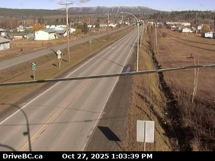
Fort St James North – Hwy 27 at Hill St/Greenview in Fort St. James, looking to the north.
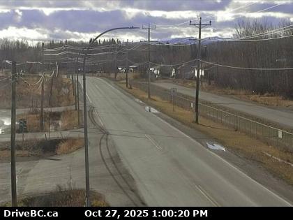
Fort St James South – Hwy 27 at Hill St/Greenview in Fort St. James, looking to the north.
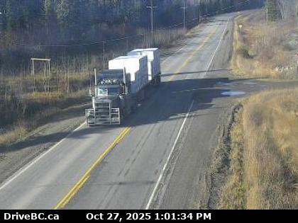
Spencer Pit North – Highway 27, about 12km south of Fort St. James at Spencer Pit, looking to the north.
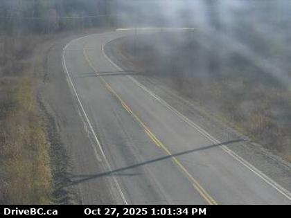
Spencer Pit South – Highway 27, about 12km south of Fort St. James at Spencer Pit, looking to the south.
Stuart Lake Highway N – Hwy 27, about 32 km south of Fort St. James, looking looking to the north.
Stuart Lake Highway S – Hwy 27, about 32 km south of Fort St. James, looking looking to the south.
Highway 27, the Stuart Lake Highway, is a 53 km (33 mi) long spur of the Yellowhead Highway in the Regional District of Bulkley-Nechako. First opened in 1967, it provides a connection from Vanderhoof, on Highway 16, north to Fort St. James, at the southern end of Stuart Lake. BC Highway 27 Road Conditions