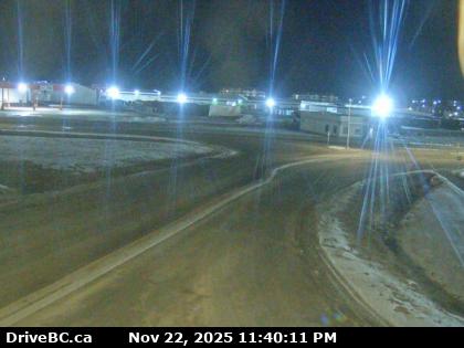
BC Fort Nelson Weather Cam

Highway 97 at Fort Nelson weigh scale, looking north.
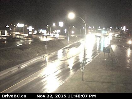
Highway 97 Road Condition Reports
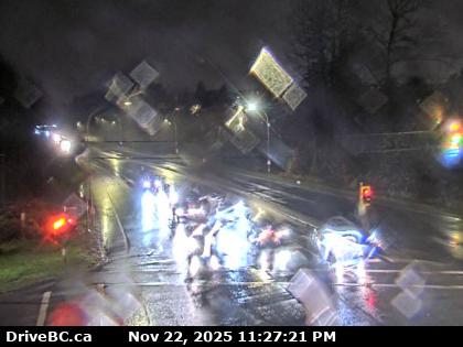
Alaska Highway Road Condition Reports
Fort Nelson is located along Highway 97 (Alaska Highway), south of the intersection with the Liard Highway (British Columbia Highway 77).
Sierra Yoyo Desan Road was the main oilfield road in the area starting in Fort Nelson and ending 188 km (117 mi) east north east. With numerous resource roads and winter ice roads entering Alberta through Rainbow Lake or Zama City.