BC Highway 26 Road Conditions report for the Barkerville Highway,
| Road construction at Highway 26, 54km East of Quesnel. Starting Wed Jul 15 until Wed Sep 30. Single lane alternating traffic. Watch for traffic control. Last update: September 15th, 2026 at 8:10pm PDT. Culvert replacement. minor construction | last updated |
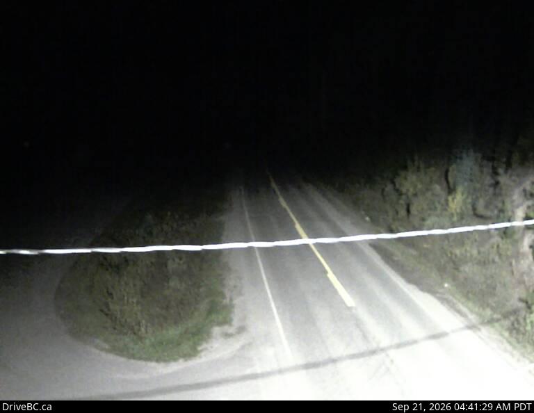
Wells BC – Highway 26, near Wells BC, about 78 km east of Quesnel, looking to the west.
Highway 26 is also known as The Barkerville Highway. It is an east-west highway in the North Cariboo region of the Central Interior of British Columbia.
BC Hwy 26 provides access to the community of Wells BC and the famous gold rush town of Barkerville located at the foot of the Cariboo Mountains.
The highway travels west of Barkerville to Quesnel where it meets Highway 97.
Bowron Lakes Provincial Park, a popular canoeing expedition circuit, is accessed by Highway 26.
The cutoff for Bowron Lakes is between Barkerville and Wells; one km prior to arriving at the historic town of, Barkerville. Highway 26 Road Conditions.

Barkerville, preserved as a historic town, was the main town of the Cariboo Gold Rush. It is located on Highway 26 the Cariboo Mountains 80 kilometres east of Quesnel.
Quesnel is a city located in the Cariboo Regional District of British Columbia. It is located between the cities of Prince George and Williams Lake on Highway 97.
Highway 26 joins Highway 97 in Quesnel. Quesnel is on the main route to northern British Columbia and the Yukon via Highway 97.