Princeton to Osoyoos Weather Cams along Highway 3 Crowsnest Highway.
Highway 3 Princeton to Osoyoos Weather Cams
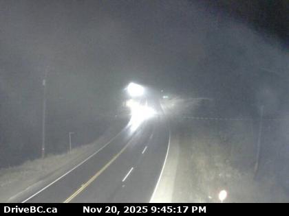
Princeton – Highway 3 at Frontage Rd on the west side of Princeton, looking to the South.
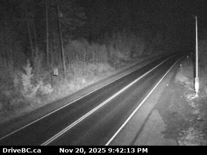
Bromley Rock W – Highway 3, about 1.4 km east of Bromley Rock Provincial Park, looking to the West.
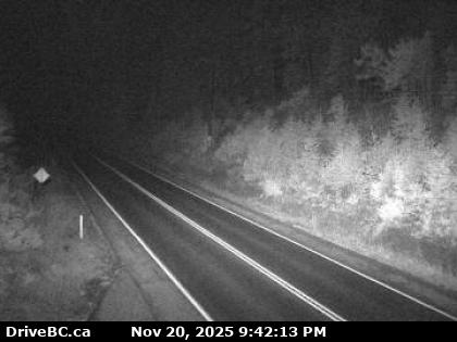
Bromley Rock E – Highway 3, about 1.4 km east of Bromley Rock Provincial Park, looking to the East.
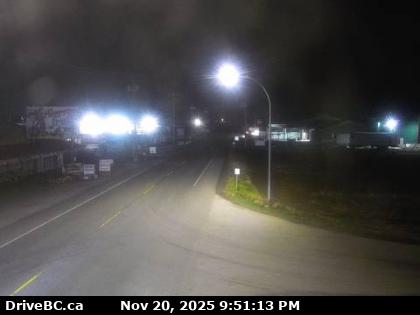
Keremeos W – Highway 3 at Keremeos Bypass Rd, looking to the West.
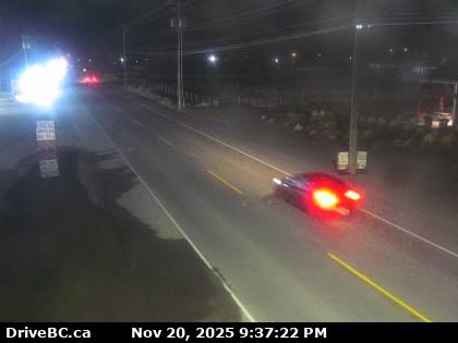
Keremeos E – Highway 3 at Keremeos Bypass Rd, looking to the East.
Mt Kobau W – Highway 3, next to Conifryd Lake, looking to the West.
Mt Kobau E – Highway 3 next to Conifryd Lake, looking to the East.
Anarchist Summit – Highway 3, 9 km west of the Anarchist Summit, east of Osoyoos, looking east.
Highway 3 Osoyoos to Salmo Weather Cameras
Beyond Princeton, Highway 3 continues for 67 km (42 mi) to the southeast through Hedley to the Village of Keremeos, where it meets Highway 3A, leading towards Penticton and Highway 97. It continues 46 km (29 mi) southeast of Keremeos, through Richter Pass, and then Highway 3 reaches the Town of Osoyoos and the junction of Highway 97.
On the east end of Osoyoos, Highway 3 crosses Osoyoos Lake before entering the Monashee Mountains, ascending Anarchist Mountain through a stretch of switchbacks.
Beyond the summit of Anarchist Mountain, in the upland rural community which shares the same name, Highway 3 enters the Regional District of Kootenay Boundary and proceeds to hug the Canada–United States border to Osoyoos. Beyond Osoyoos Highway 3 reaches its junction with Highway 33 at Rock Creek, 52 km (32 mi) east of Osoyoos.
Highway 3 – Ham Radio Repeaters